


Well, Polk County woke up to a winter wonderland that has since started to melt as temperatures today are just slightly above freezing for the high, but don’t expect the sunshine to warm up the day too much as the thermometer is dipping below freezing overnight.
Around an inch of snow fell across the area during the overnight hours following rain, and behind this latest artic blast is a chilly wind that helped push much of the snow around throughout the morning hours.
That wind – an advisory remains in effect until 7 p.m. – is set to bring temperatures down as the National Weather Service also put a freeze warning into effect through the rest of the day.
As of midday, the temperature stood at 30 outside, and (around Prior Station at least) only small patches of snow remained. Overnight temps are set to get down to 14, with winds dying down some from the upward of 35 mph gusts we’ve seen this morning, though could get as high as 20 mph tonight.
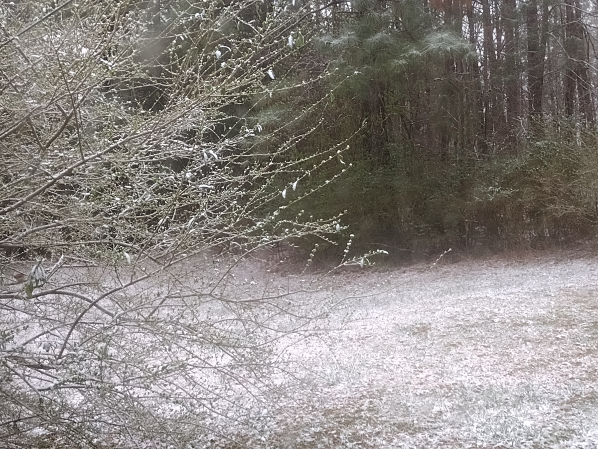
Here are contributed photos from this morning so far submitted to Polk Today from the snowfall:


(Contributed photos include those from Helen Riley and Jonathan Blackmon. More will be added as they are contributed. – KtE)
The good news is the last chill of winter isn’t expected to last long, as the forecast calls for a warm-up back to what is considered more seasonable temperatures for this time of year in Polk County.
Peachtree City forecasters expect sunshine to remain in the forecast on Sunday and a high of 53, but patchy frost is expected overnight with a low of 29.
Monday will warm up to 63, with a low of 41 overnight, but clouds moving in overnight will bring rainy weather on Tuesday, with a high of 64 expected and upward of a 60% chance of wet weather during the day, and a 50% chance overnight and downward to a 40% chance on Wednesday.
Next weekend, the forecast calls for highs in the low 70s and down into the upper 40s overnight.
So despite this chill today, look forward to springtime right around the corner.


Leave a Reply