


Submitted by Janice Stewart 
Submitted by Janet Ross 
Submitted by Candace Casey Davis 
Submitted by Pamela Shuemake 
Submitted by Janice Stewart 
Submitted by Brenda Rudeseal 
Submitted by Elise Heaton Holcomb in Forney, Alabama 
Submitted by Janice Stewart 
Submitted by Rebecca Crawford 
Submitted by Cassandra Austin 
Submitted by Lydia Teal in Felton 
Submitted by Sherry Smith in Cedartown 
Submitted by Malissa Carney 
Submitted by Malissa Carney
You read the headline right. The weather is being just plain crazy of late.
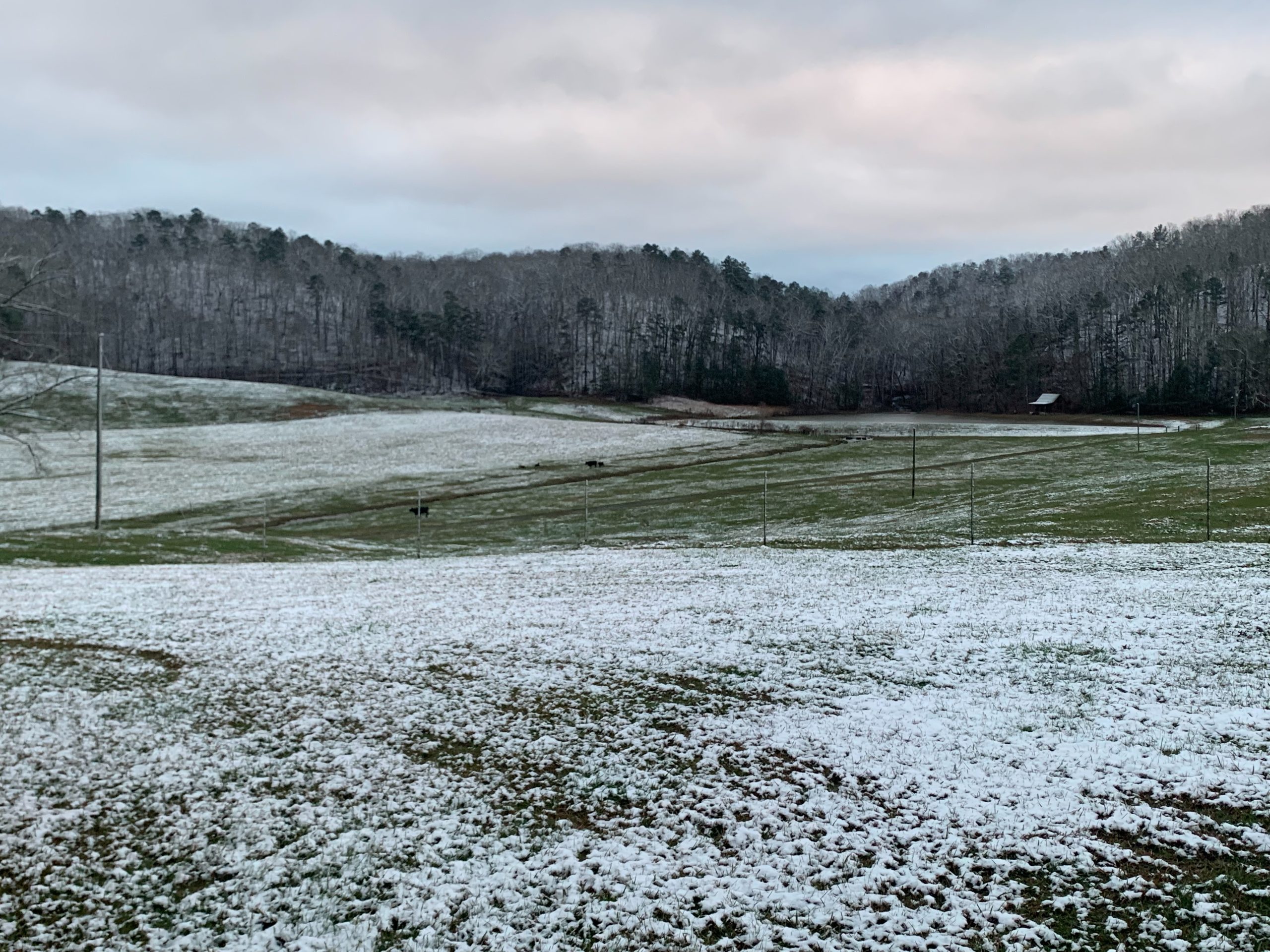
After starting off the New Year with temperatures in the 60s and 70s, a cold front and artic mass bringing freezing temps followed behind, and left Polk County with a thin blanket of snow during the overnight hours.
The National Weather Service still has a wind advisory in place through noon, and the thermometer is expected to get up to 42 and melt snow around the area before dropping down to 23 degrees overnight.
Expect a slight warming trend starting on Tuesday with a high of 50, Wednesday with a high of 56, and a round of rain Thursday that could turn into snow showers once again as temperatures dip down to 20 degrees overnight.
Sunshine returns to the forecast on Friday with a high of 42, and low of 24. Weekend temps are expected to be back into the 50s.
Want to submit a snow photo? E-mail it to kevin@polk.today!


Leave a Reply